On this page
Overview
| Distance | Fitness | Skill | Traffic | Grade | |
|---|---|---|---|---|---|
| 27km | Easy | Intermediate | Low | 3 |
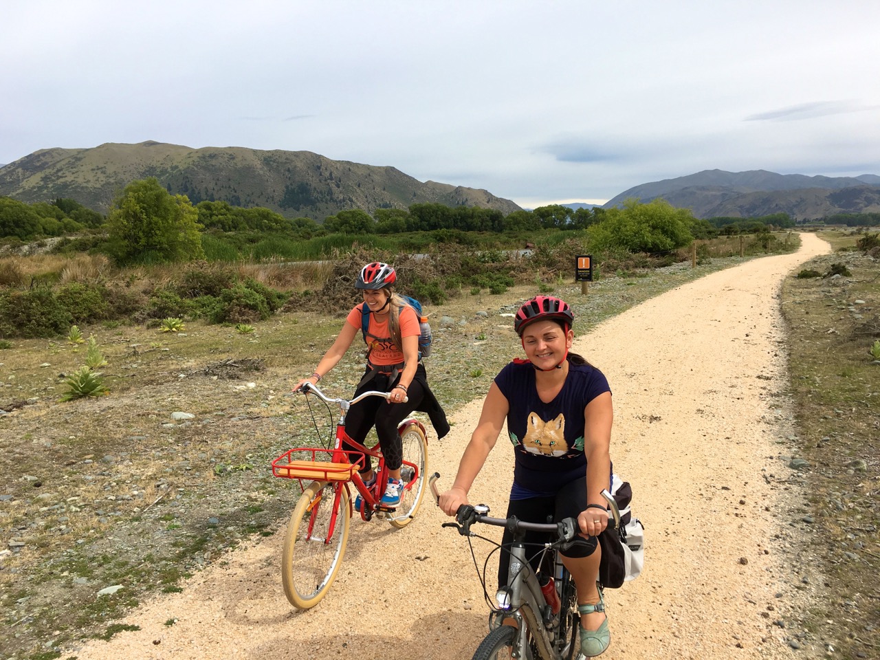
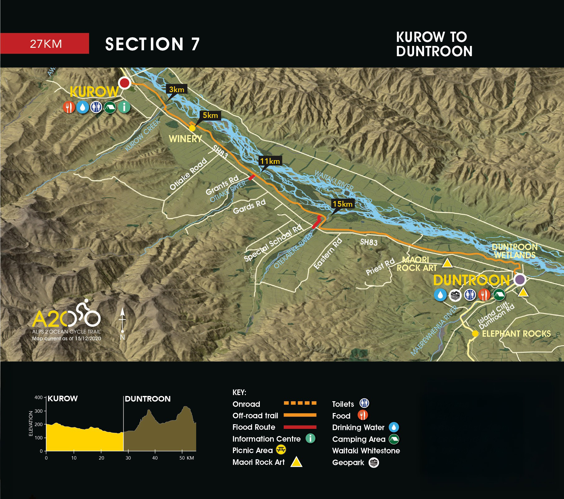
The off-road Trail starts at the eastern end of Kurow between the museum sheds.
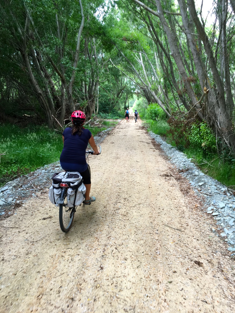
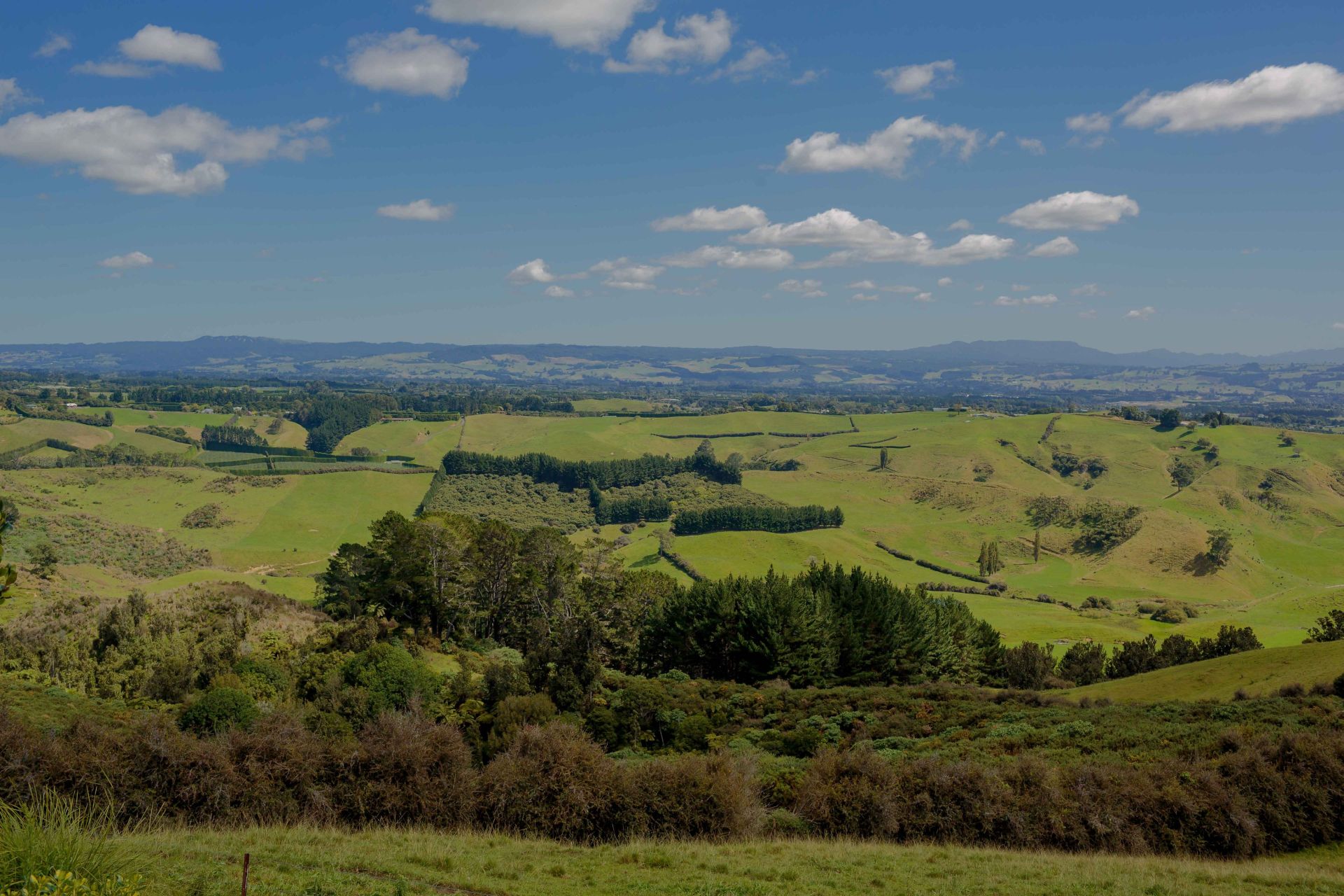
A gravel track takes you across to the Waitaki River which you follow down the valley. You cross Kurow Creek (3km) then ride up and alongside the highway.
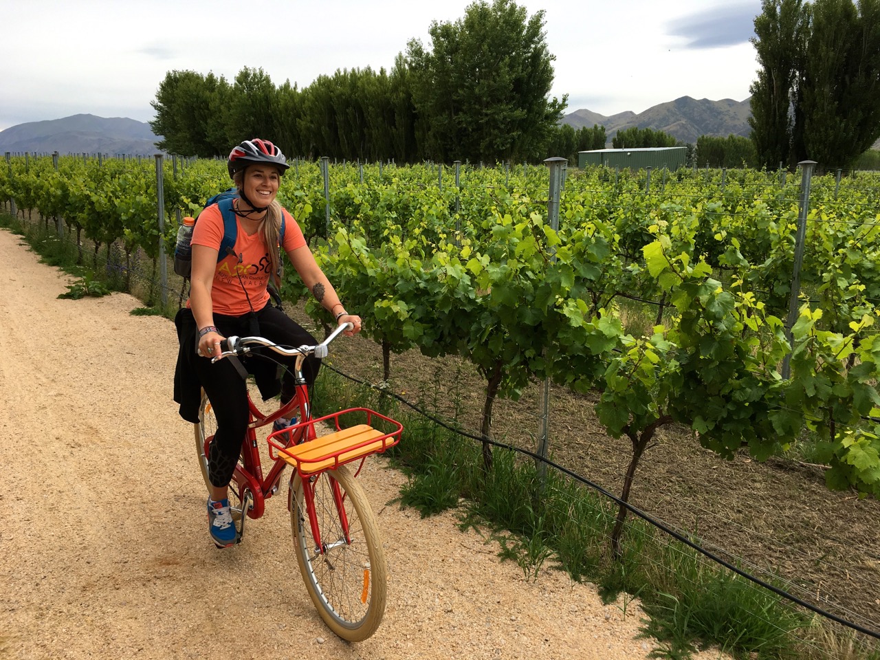
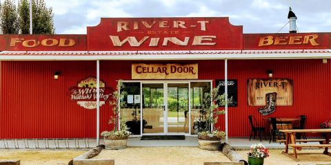
You ride through the winery (5km), then back towards the Waitaki River and follow the Waitaki Haul Road, crossing the Otiake River (11km) and the Otekaieke River (15km). This section of the old Haul Road is shared with recreational vehicles.
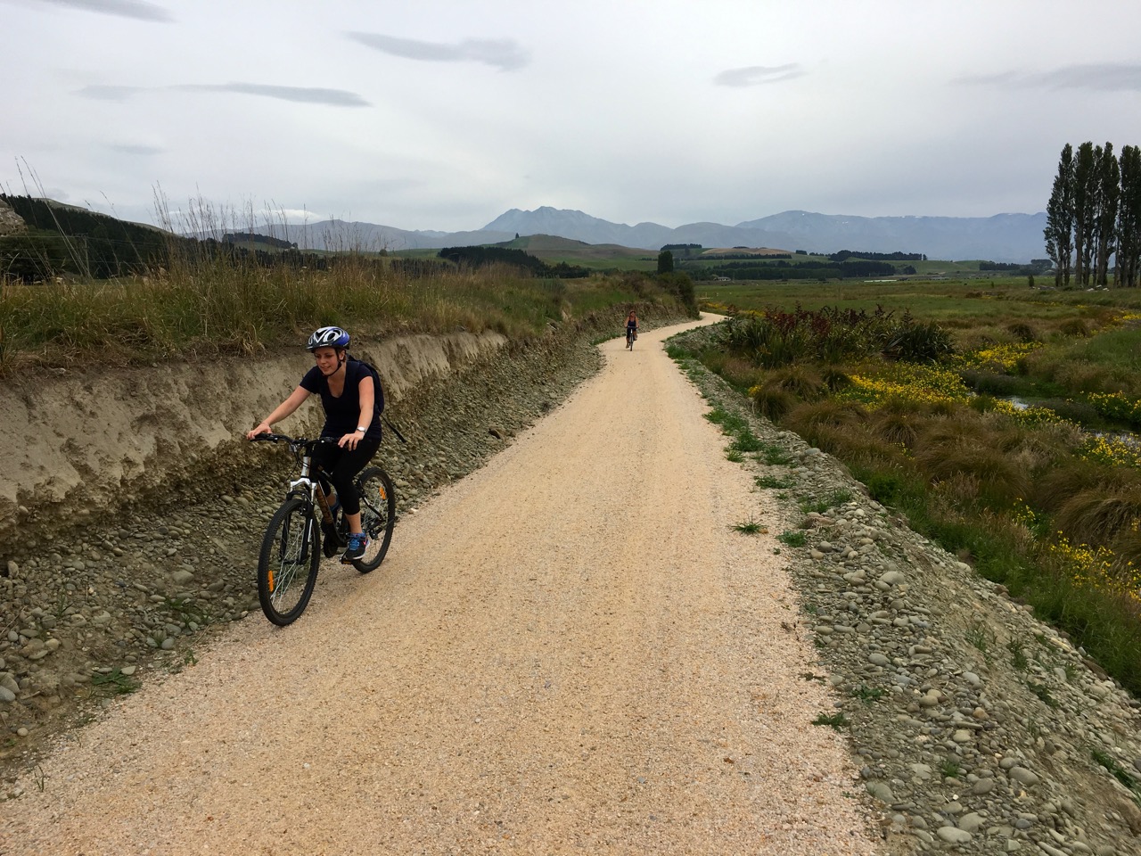
The off-road trail then follows the highway to the Takiroa Maori rock art site (23km) which is across the road from the Trail. After visiting the rock art site, retrace your steps and continue on the Trail heading back down to the Waitaki River, then through to Harris St, Duntroon.
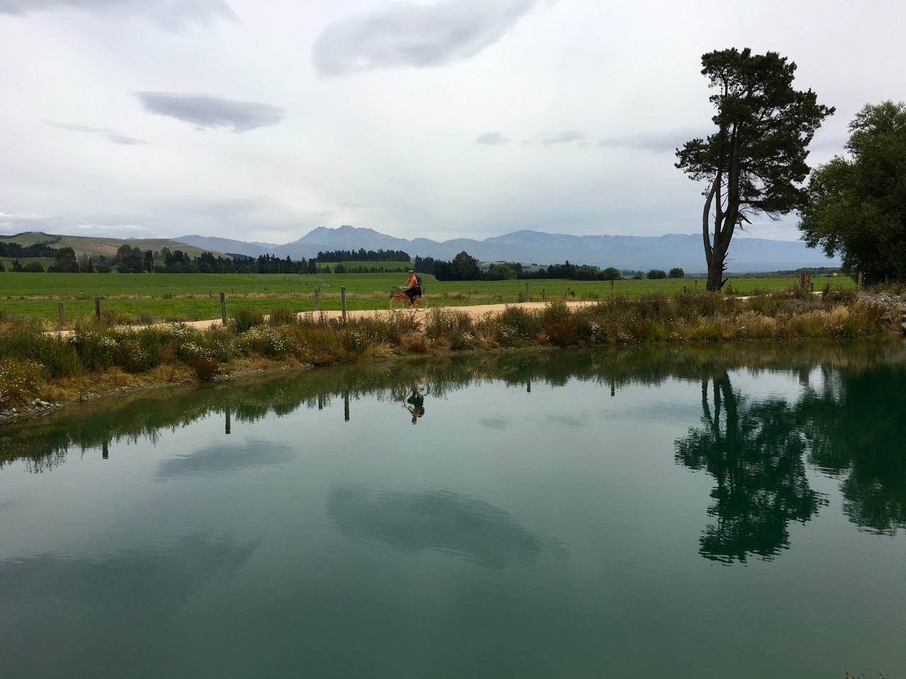
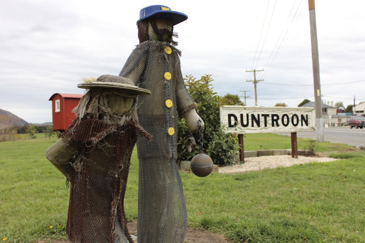
Halfway up Harris St you turn right and ride through the Duntroon Wetlands before emerging in the centre of Duntroon 27km.
Toilets are located about 50 metres from the Gaol on the right heading towards Ōamaru.
|
|
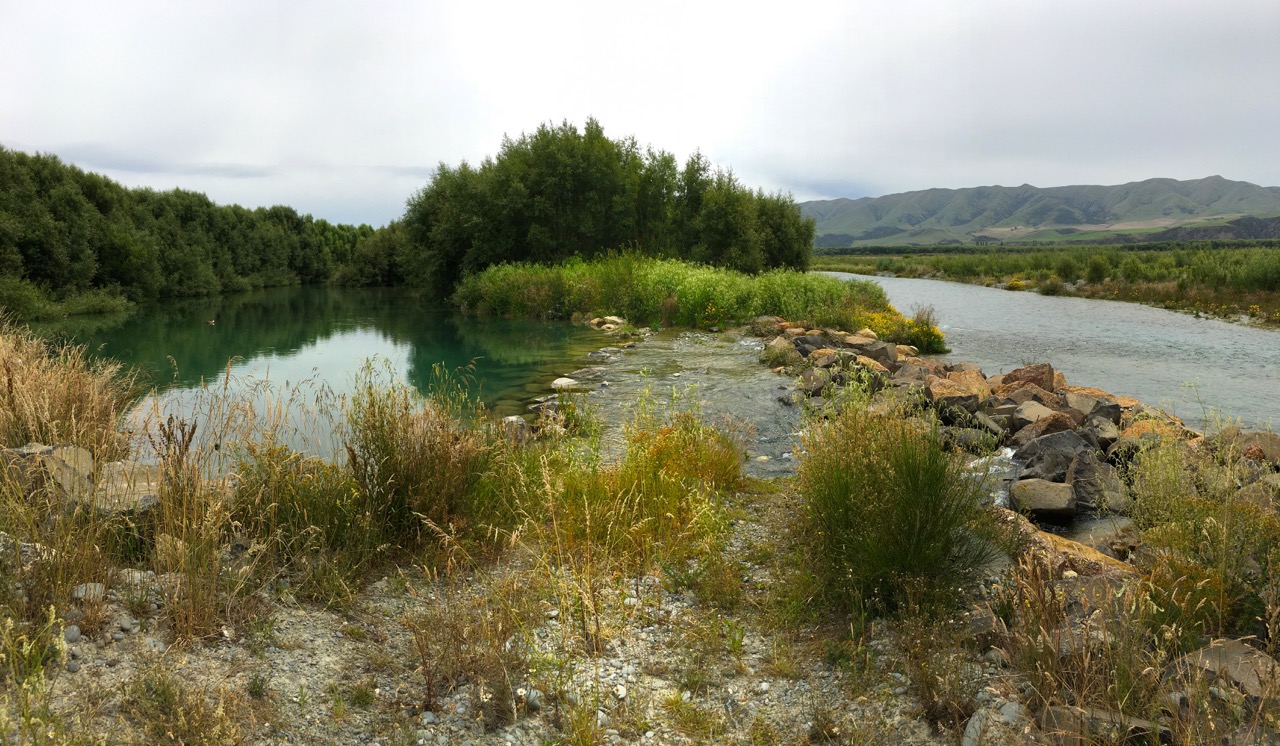
- The Trail between Kurow and Duntroon crosses three braided rivers - Kurow, Otiake and Otekaieke. During summer months these are usually dry. If there is water in them, please dismount and cross with care.
- Please check latest Trail Information to check this section is open.
- Be aware that river flows can rise quickly following rain, and may make them unsafe to cross.
- If the rivers are in flood, the recommended route is to ride SH83 from Duntroon to Kurow.
- If you get to the Kurow River and it is in flood, return to Kurow start point (2.5km).
- If you get to the Otiake River and it is in flood, exit along the 4wd track just before the river.
- If you get to the Otekaieke River and it is in flood or too swift to cross, go back and exit along the 4wd track on the western side of Otiake River.
- SH83 (flood route only) is a moderate volume, relatively narrow road. Please keep left, ride single file and wear high vis clothing. For your safety please ride on the trail where it is adjacent to the road.
- Sections of the Trail by the Waitaki River are shared by recreational vehicles and cyclists. Please ride or drive with care.
- Ponds and irrigation canals - there are several ponds and irrigation canals which are fenced off alongside the Trail. These are on private property and not suitable for swimming or as drinking water.
- Electric fences – take care not to touch or lean your bike against the many electric fences along this section of Trail. They are sometimes marked with yellow warning signs.
- Waitaki River – is a swift flowing river and not generally suitable for swimming.
- Takiroa Maori Rock Art site – take extreme care at this SH83 road crossing which is busy and has limited visibility.
Alps 2 Ocean Cycle Trail® is a registered trade mark. ©Tourism Waitaki Ltd. 2020. Reproduction of this section map and description in either print or digital format, is not permitted for any commercial, use without prior written permission.
Trail route map
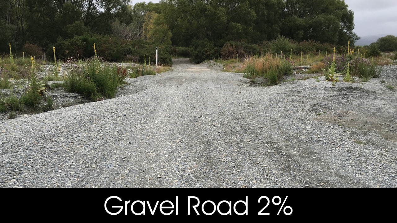
Trail surfaces
Interactive VR tour
Take a VR tour of Duntroon Wetlands courtesy of Virtual Waitaki: