On this page
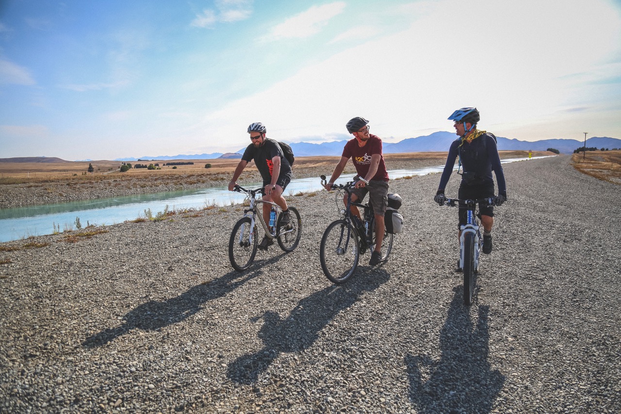
Overview
| Distance | Fitness | Skill | Traffic | Grade | |
|---|---|---|---|---|---|
| 55km | Easy | Easy | Low | 2 |
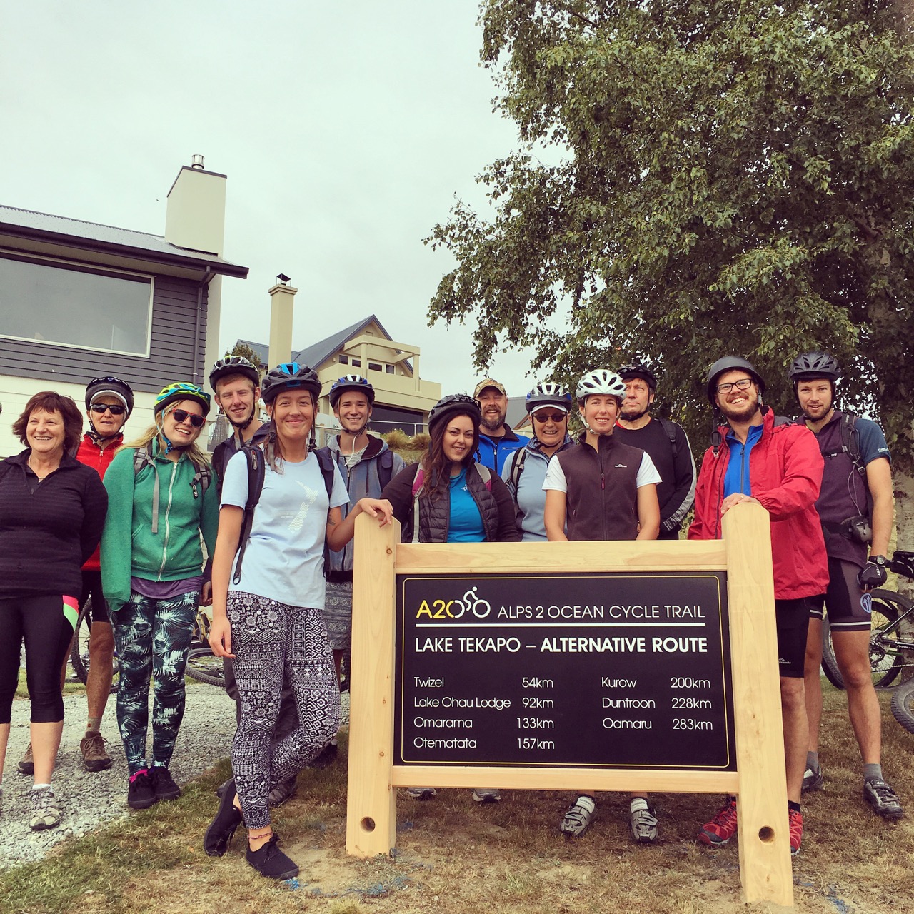
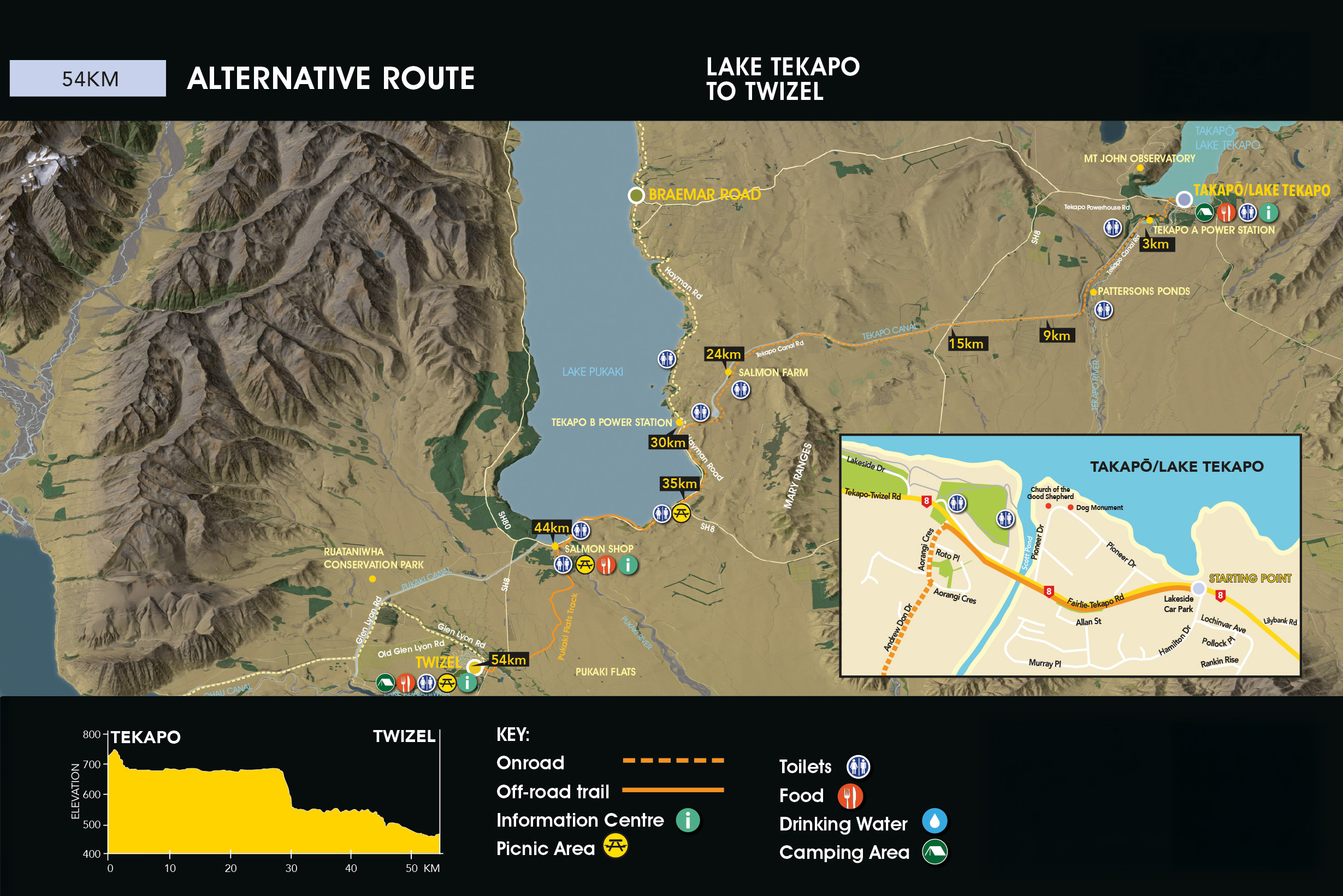
The Alternative Route begins in the Takapō township near Hamilton Drive.
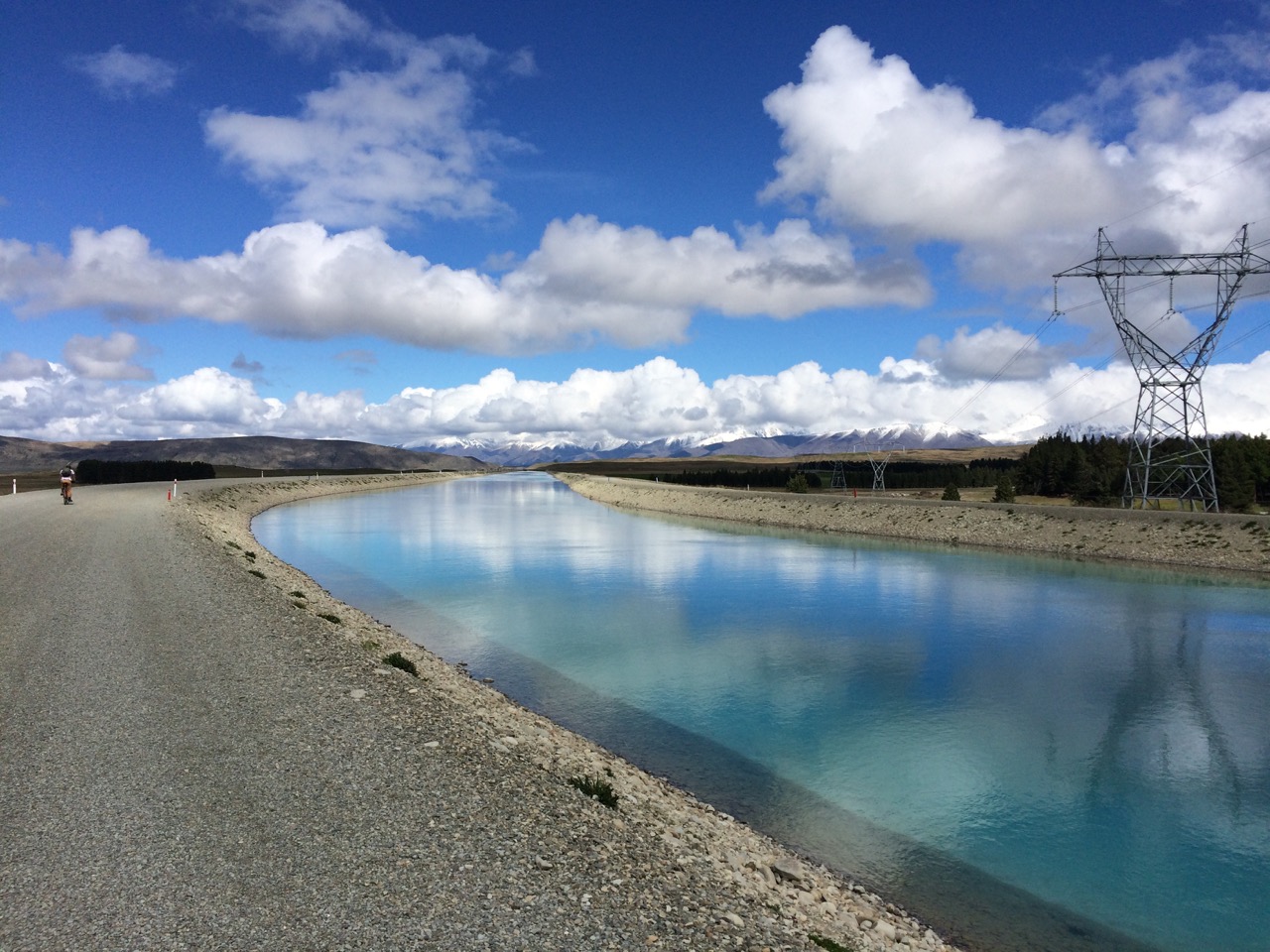
Follow this track until you reach Aorangi Crescent. Following the A2O arrows, turn left and continue along Aorangi Crescent until it turns into Andrew Don Drive. Eventually Andrew Don Drive becomes a gravel road, continuing to Tekapo A Power Station.
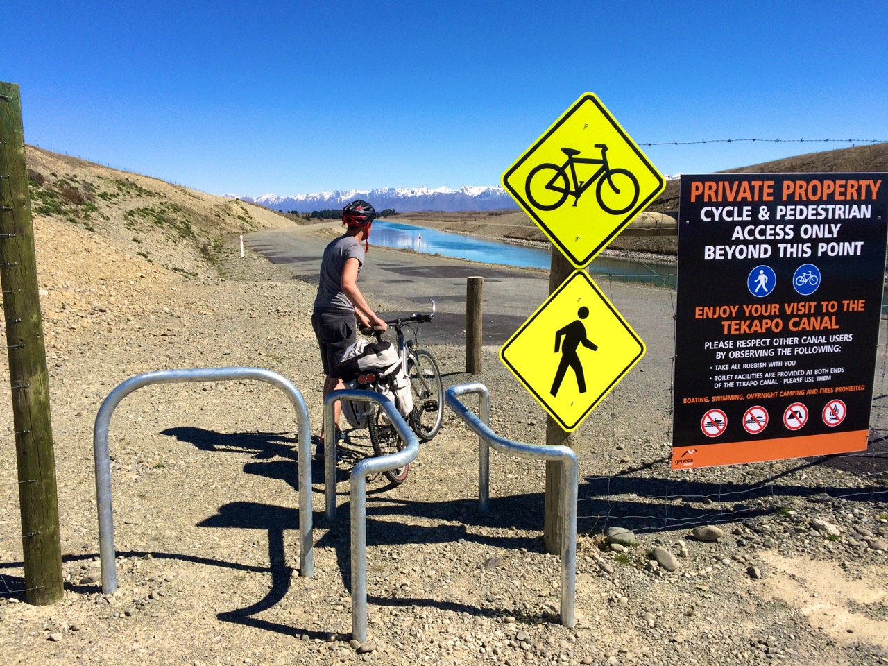
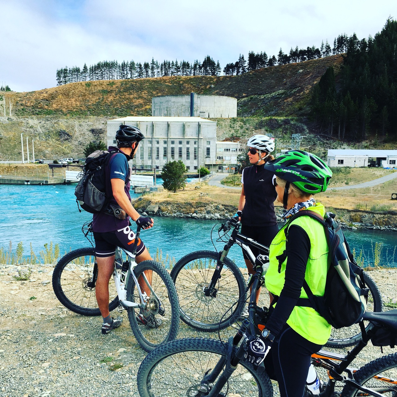
Passing Tekapo A Power Station (3km) continue along the Tekapo Canal Road to the gate where vehicles are excluded (9km).
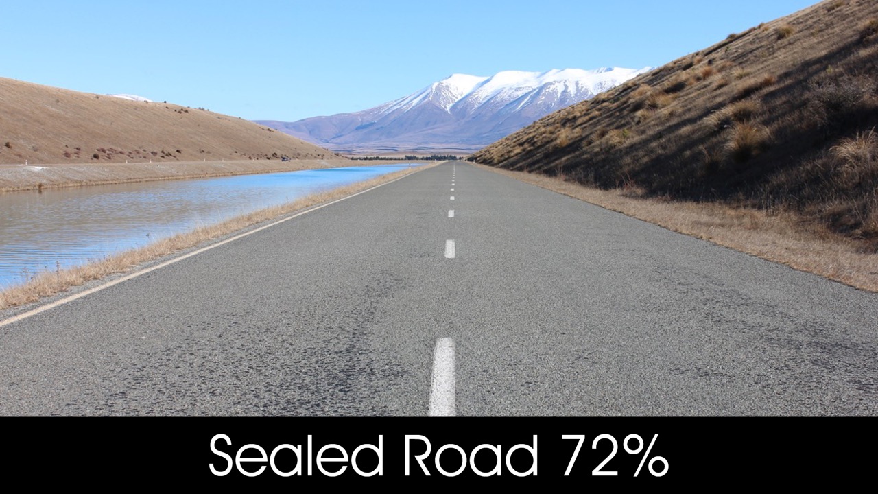
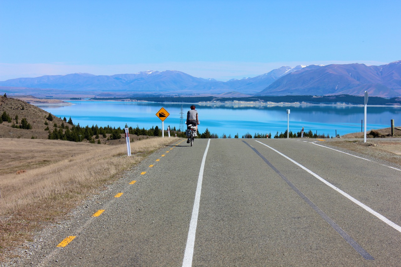
Take care crossing SH8 (15km) then continue on past the salmon farm and toilet (24km), before dropping down to Lake Pūkaki (30km).
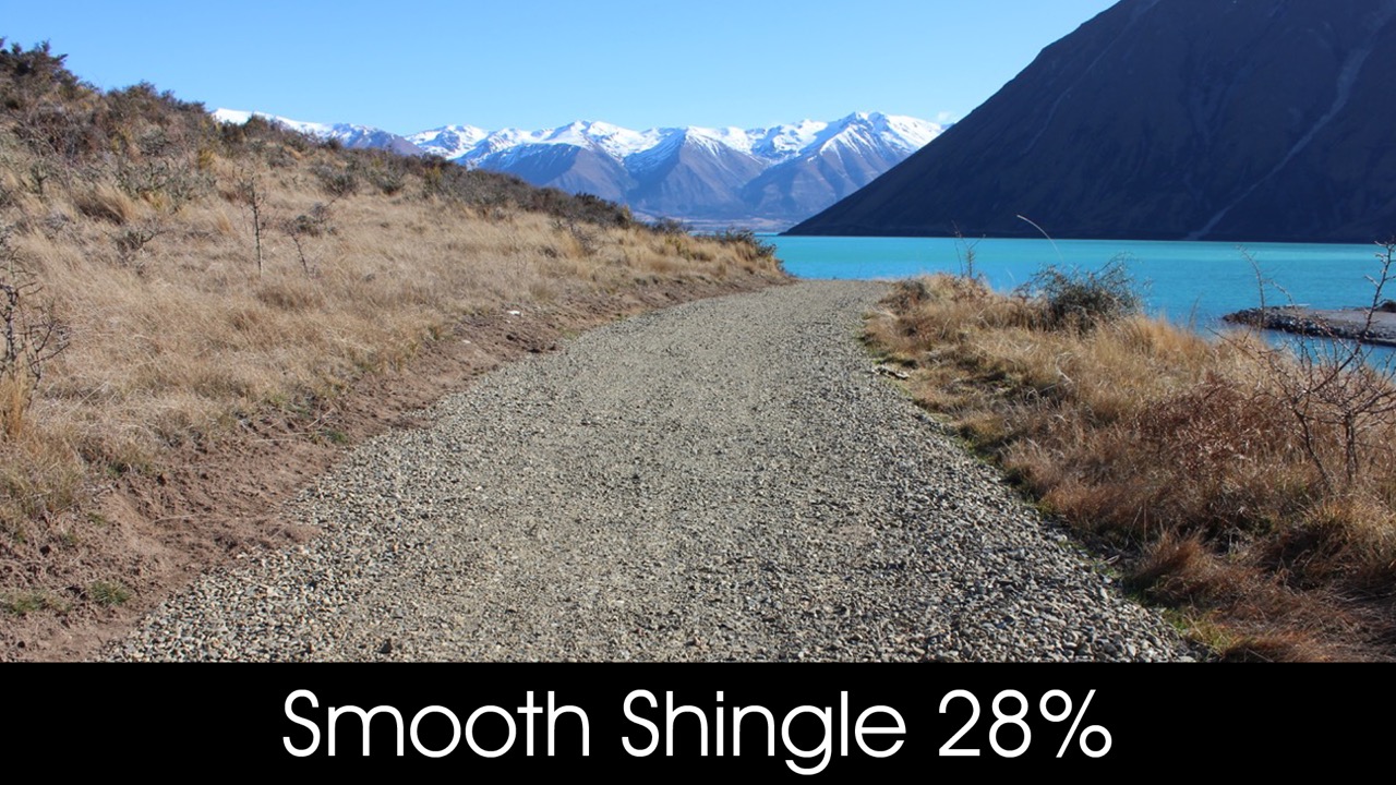
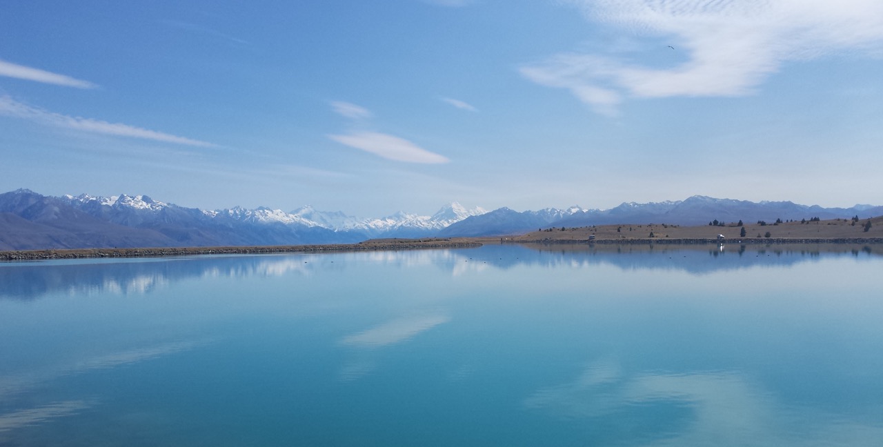
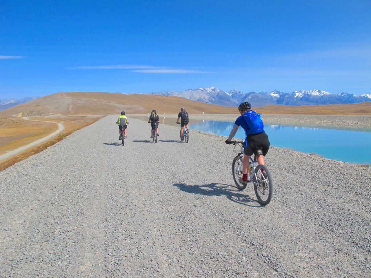
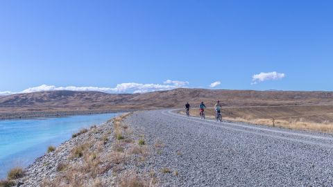
Turn left onto Hayman Rd and ride to the start of the off-road Trail on your right (35km) which follows the Lake Pūkaki shoreline. With Aoraki/ Mt Cook as a backdrop, the Trail passes over the Pūkaki dam, taking you to the car park at Lake Pūkaki Visitor Centre 44km.
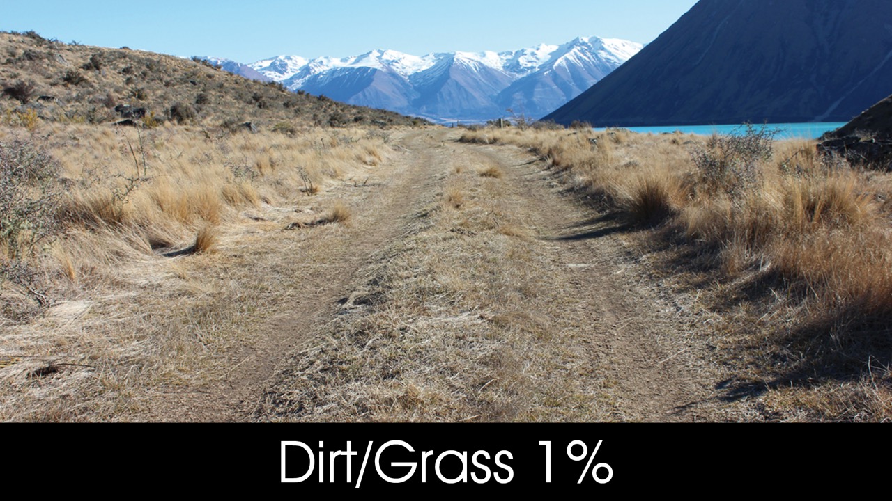
You then cross the highway and follow the Trail across Pūkaki Flats – an expansive area of dry grasslands that are characteristic of the Mackenzie landscape.
This takes you to the town of Twizel. Take care crossing State Highway 8.
|
|
- High winds – this section of Trail is exposed to strong and gusty winds. Be extremely careful in exposed areas, especially crossing bridges. Consider dismounting.
- There is an exposed region of the trail which has significant high wind risk. The location is 6kms south (towards Pūkaki) from Canal/SH1 crossing, on canal road. Follow signage and use the lower road in these conditions, consider dismounting, and take extreme care. Failure to take the lower road in high winds may result in severe injury.
- There are sections of this Trail close to cliffs and drop offs. Take care in these parts.
- Vehicles - take care and be alert for vehicles crossing the section of Trail around the south end of Lake Pūkaki.
- Overflow weir – this is signposted 2km from the Pūkaki Visitor Centre. Do not stop or camp in between the signs.
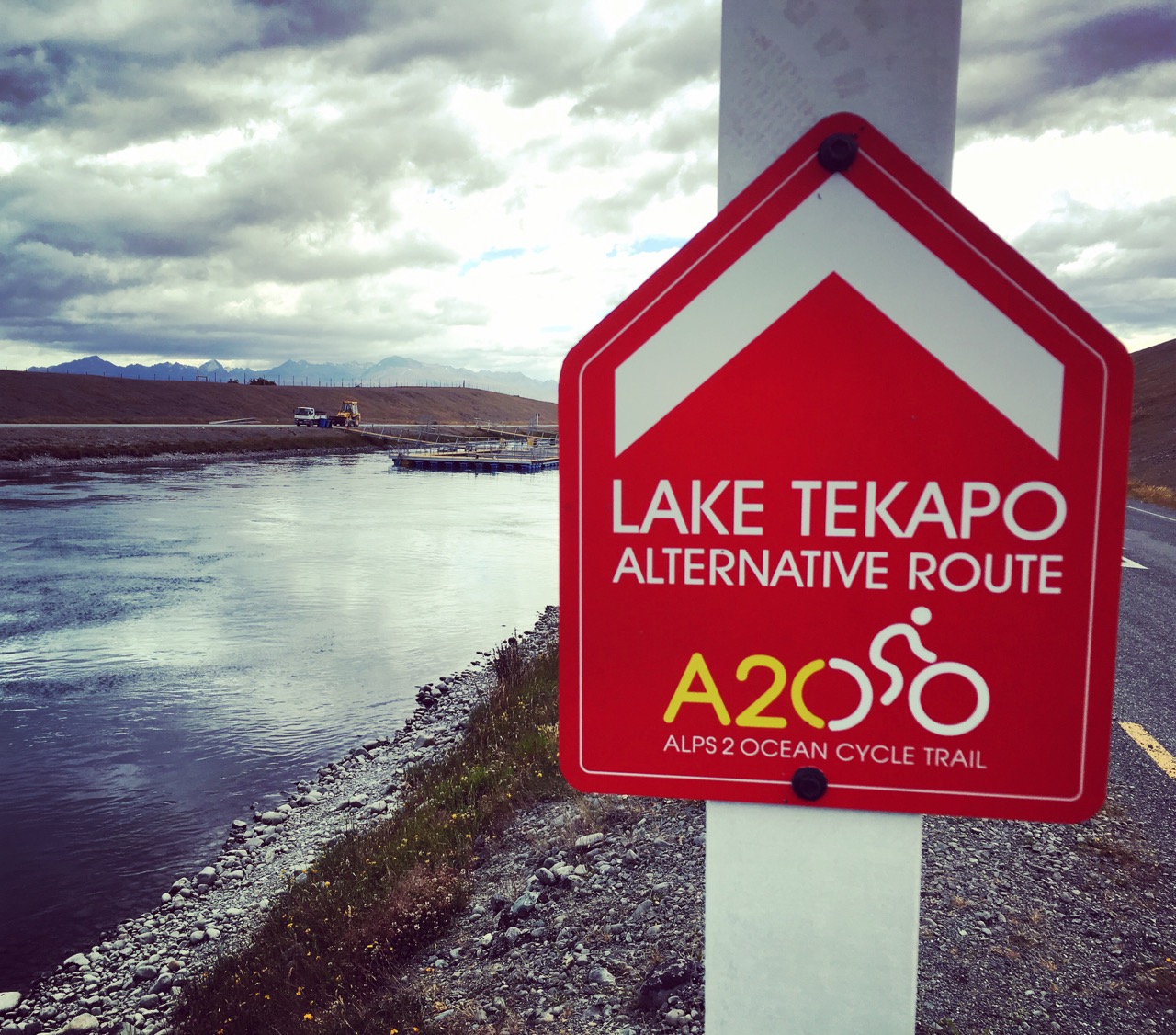
- The alternative Tekapo Canal Road route is a private road. Genesis Energy reserves the right to close the Tekapo Canal Road at any time, and may do so without notice.
- Please be aware that swimming in the canals along the A2O is strictly prohibited. The waters pose significant risks, including strong currents and the potential for drowning, especially for those who are not strong swimmers. Engaging in this activity can result in serious injury or even fatality. For your safety, please avoid swimming in the canal and stay on designated areas of the Trail at all times.
Alps 2 Ocean Cycle Trail® is a registered trade mark. ©Tourism Waitaki Ltd. 2020. Reproduction of this section map and description in either print or digital format, is not permitted for any commercial, use without prior written permission.