On this page
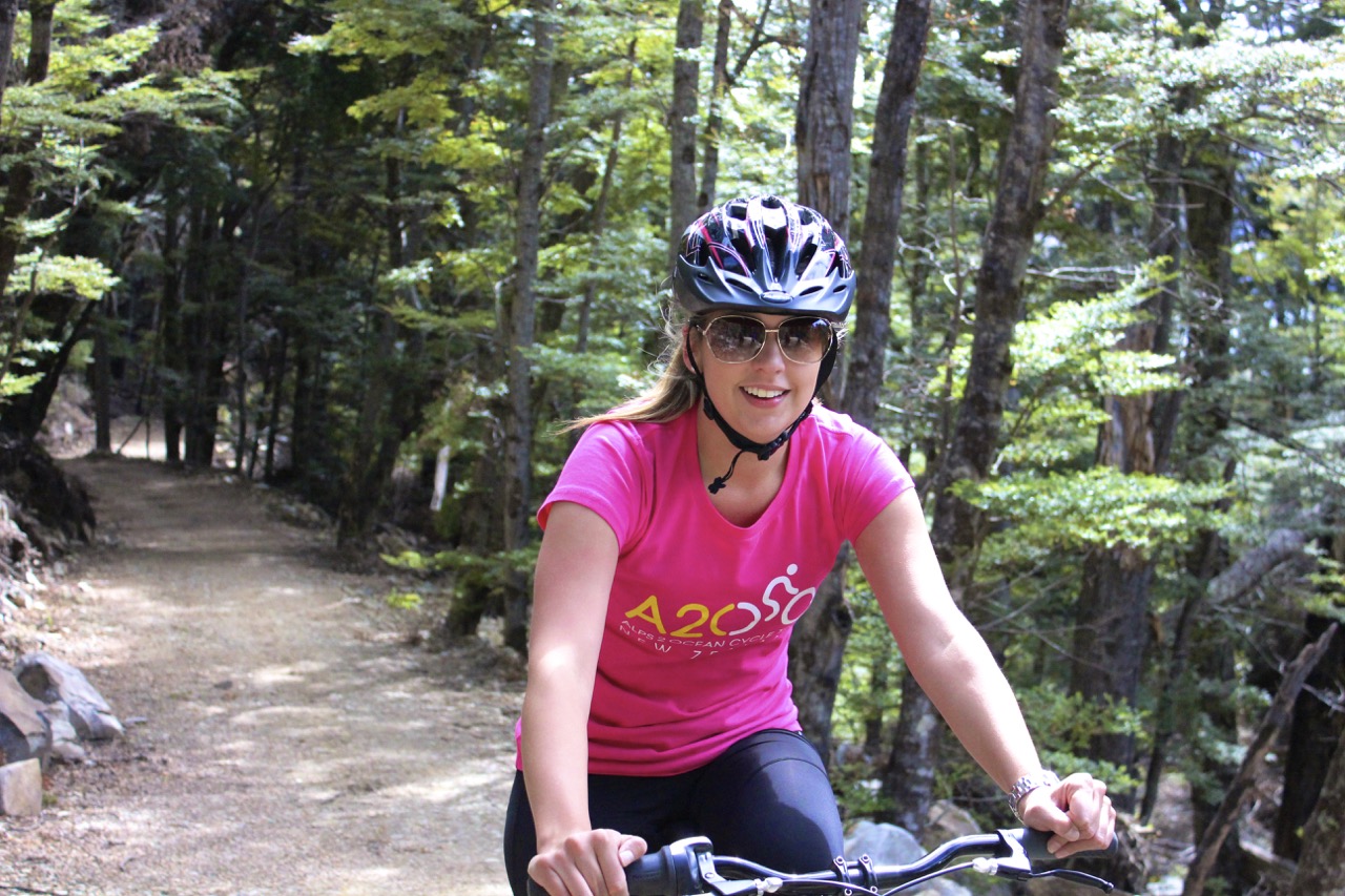
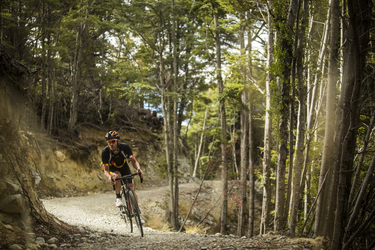
Overview
| Distance | Fitness | Skill | Traffic | Grade | |
|---|---|---|---|---|---|
| 43km | Intermediate | Intermediate | Low | 3 |
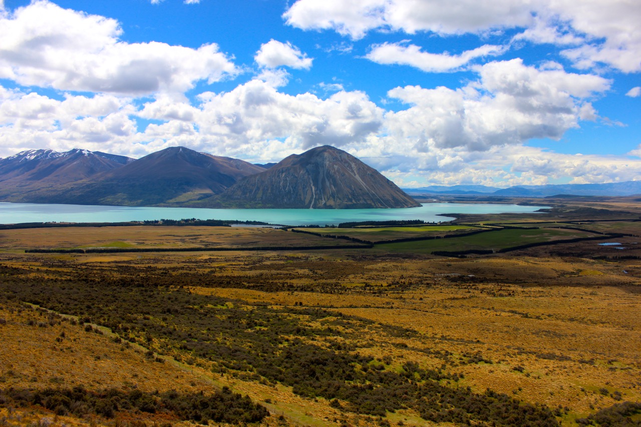
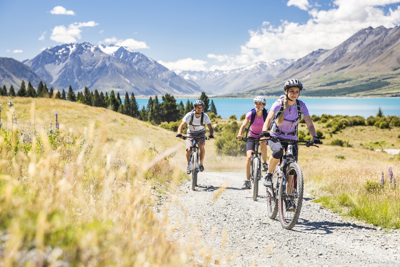
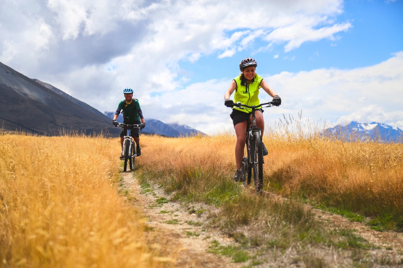
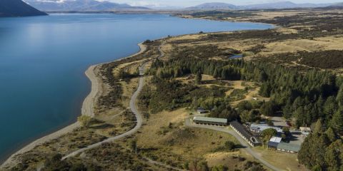
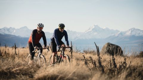
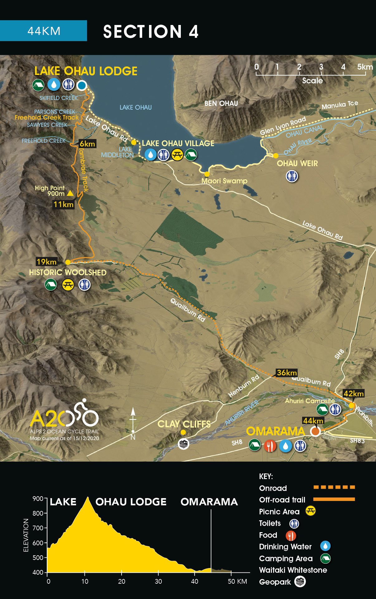
Starting from the Lake Ohau Lodge driveway, the Trail traverses the lower slopes of the Ohau Range, with stunning views back across the basin to the Ben Ohau Range - 6km of easy cycling will take you to Freehold Creek, 600m above sea level.
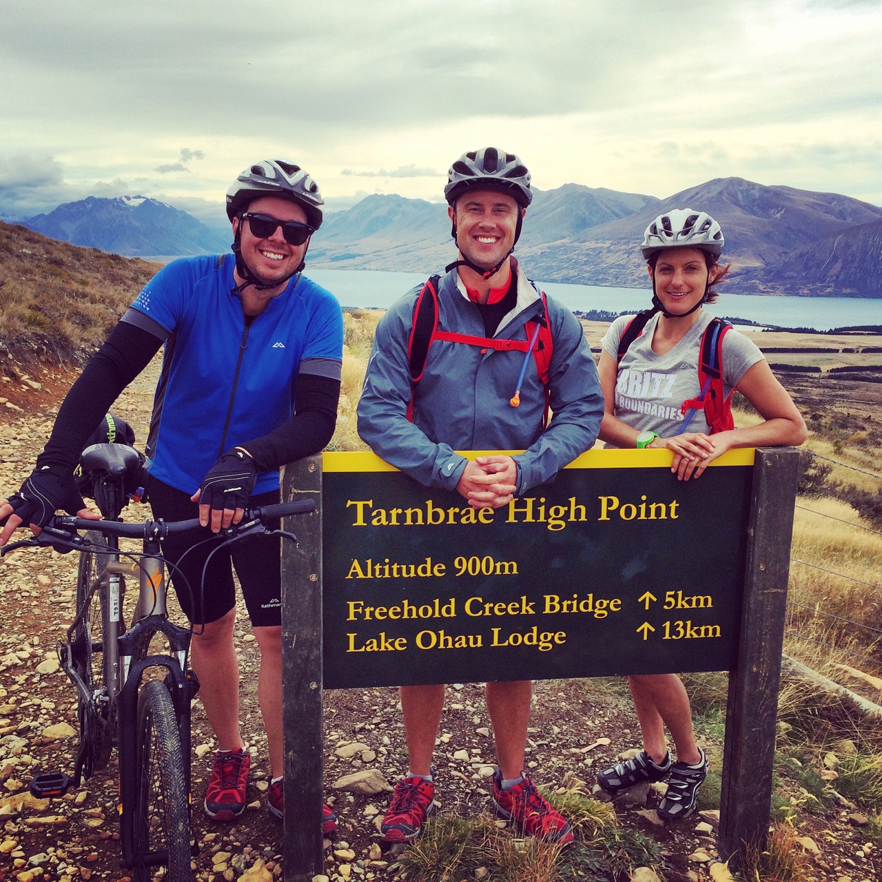
From here, the track narrows and it’s a steady climb to the high point on the trail at 900m (11km). Please be aware that there are several ‘false summits’ where the trail appears to reach the high point, though instead keeps winding upwards.
Once at the high point, it is a rolling descent to the historic woolshed (derelict) at the top of Quailburn Road (19km). Toilets and parking are available here.
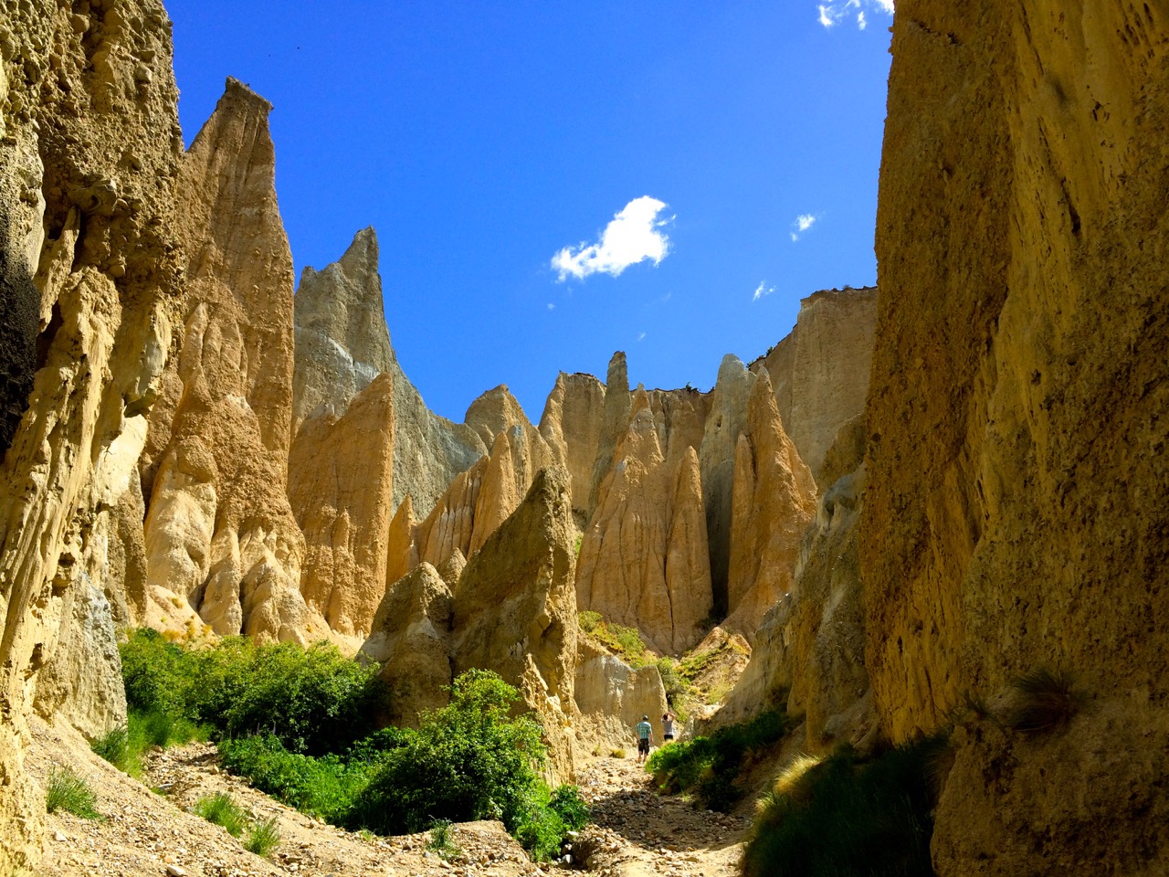
On the way down Quailburn Road you can turn onto Henburn Rd (36km) and take a side trip to see the Clay Cliffs (14km return).
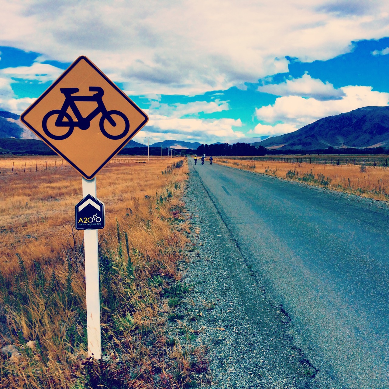
Where Quailburn Road meets the highway, take the off-road trail which leads through the Ahuriri Campsite (42km). Exit the campsite and cross over the Ahuriri river using the road bridge. A short off-road trail then takes you to Ōmarama.
|
|
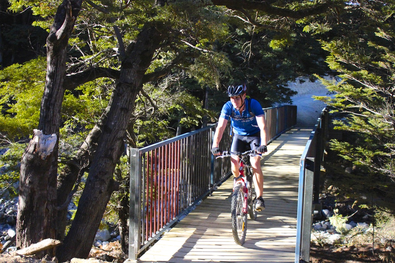
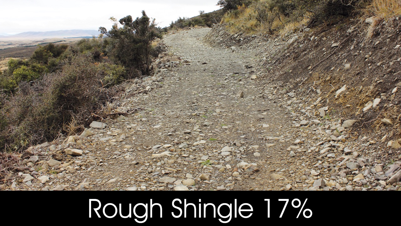
- Surface is rockier and rougher in places on this Grade 3 section than elsewhere on the Trail. Dismount if you are uncertain, particularly on descents.
- Due to this section’s limited cell coverage and remoteness, please consider taking a PLB with your group.
- This section involves a sustained 4km climb. It is recommended that it be undertaken in the cooler part of the day during summer. Carry 2L of water and high energy food.
- The downhill from Tarnbrae summit is moderately technical, with some rough and loose areas. Take care, ride within your ability or dismount and walk if you are unsure.
- The Trail reaches its highest point (900m) and is very exposed to mountain weather. It is essential to carry warm and waterproof clothing all year. If in doubt seek advice from the Lake Ohau Lodge staff.
- A short section of the Trail crosses an avalanche path on the climb to the summit. Minimise your time in this zone in winter.
- Fire damaged trees in the forest section could be unstable. Extreme caution when windy.
- Steep descent – the first section from the 900m summit involves some tight steep bends. Less experienced riders may want to walk this short 1km section.
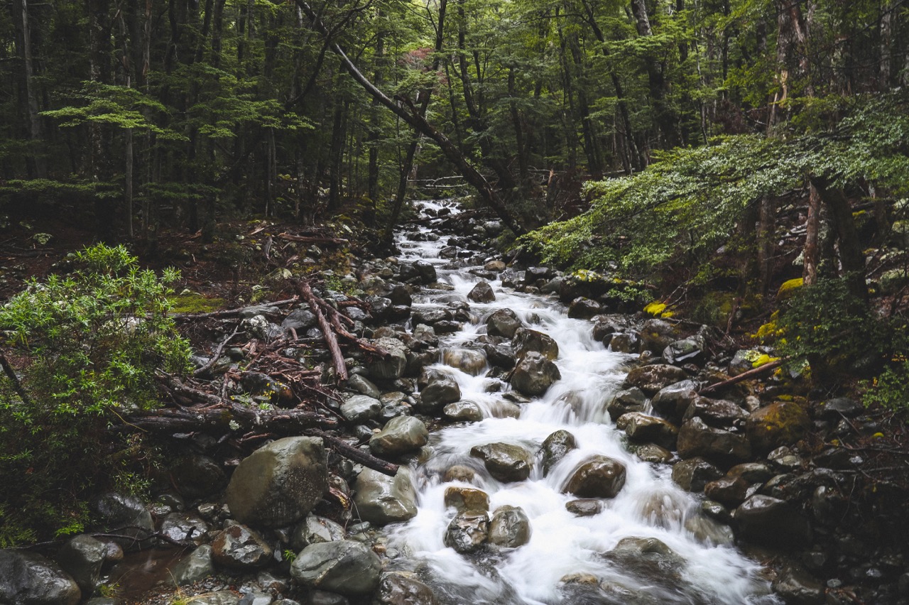
- Fords – there are several small fords on the Trail.
- Quailburn Rd historic woolshed is derelict and is not suitable as a shelter.
- Quailburn Rd – The first 14 km is on a gravel road and can be corrugated with loose gravel. Take care and watch your speed, slow down before you reach the corners, as a number of accidents have occurred on this road.
- Ahuriri Road bridge SH8 – there is an induction loop warning system at this bridge which switches on the cyclist warning sign for vehicles. This system can fail, so be aware and take care as you cross this bridge.
- Cyclists are reminded not to ride on the footpath in the Ōmarama town centre. This area is for pedestrians only. Please remain on the road through this short section and follow all local signage.
Alps 2 Ocean Cycle Trail® is a registered trade mark. ©Tourism Waitaki Ltd. 2020. Reproduction of this section map and description in either print or digital format, is not permitted for any commercial, use without prior written permission.
Trail route map
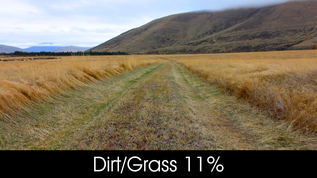
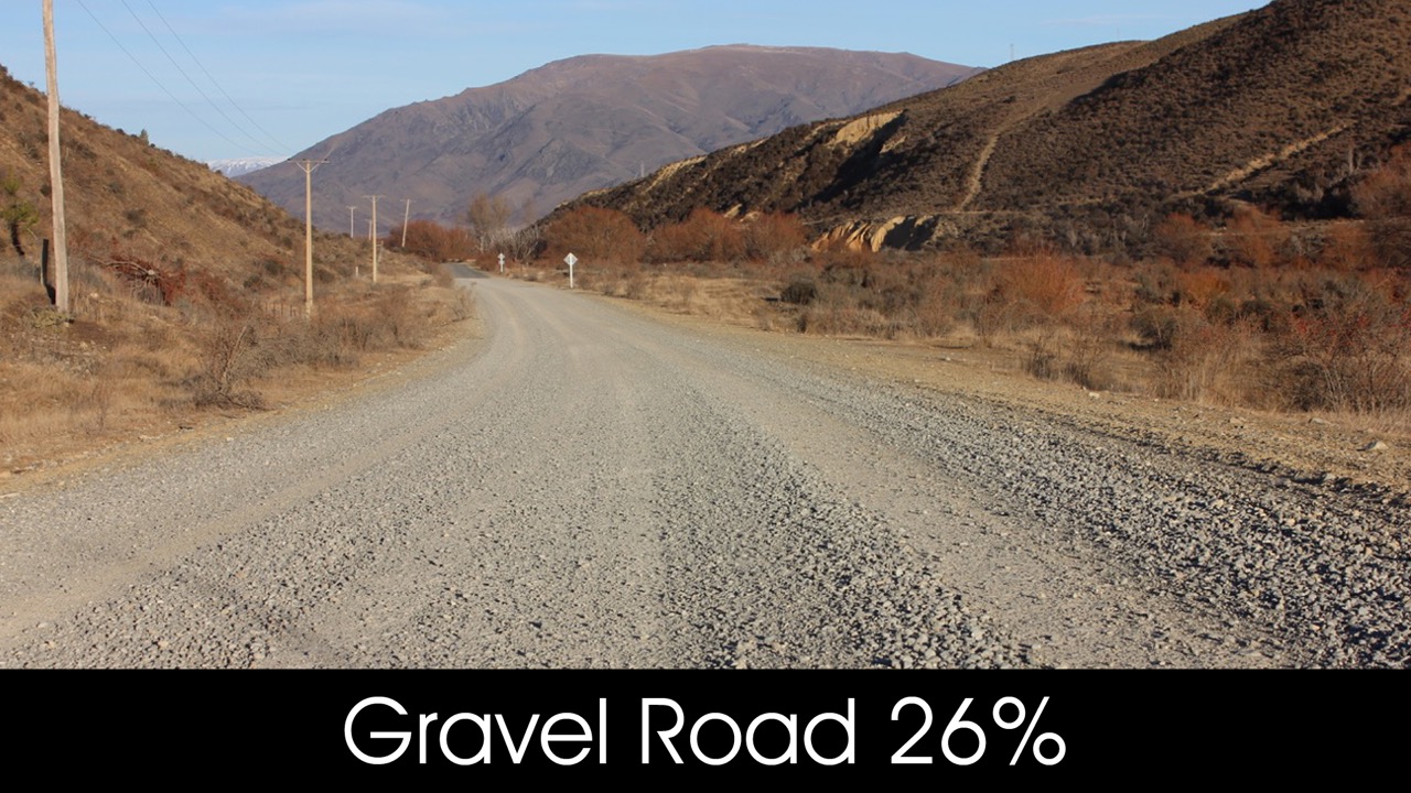
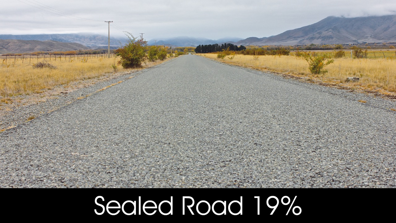
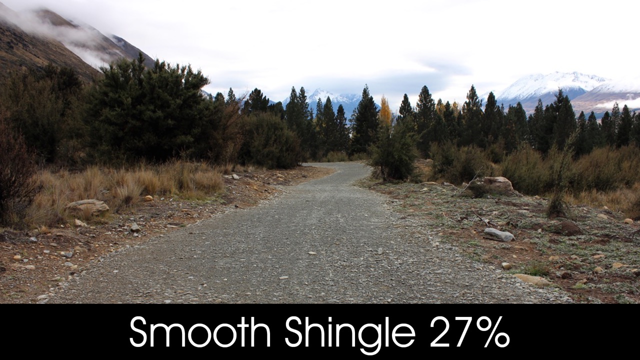
Trail surfaces
Interactive VR Tour
While nothing quite compares with seeing it in person, this virtual tour of Clay Cliffs courtesy of Virtual Waitaki offers a taste of what awaits you on your visit: