On this page
Overview
| Distance | Fitness | Skill | Traffic | Grade | |
|---|---|---|---|---|---|
| 35km | Easy | Moderate | Low | 2 |
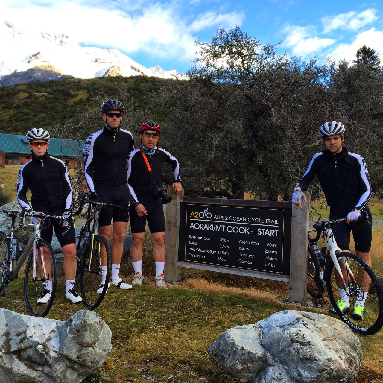
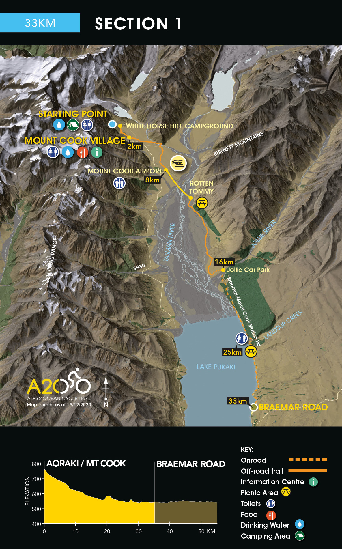
The Alps 2 Ocean Cycle Trail starts at the White Horse Hill Campground, 2km north of Mt Cook Village.
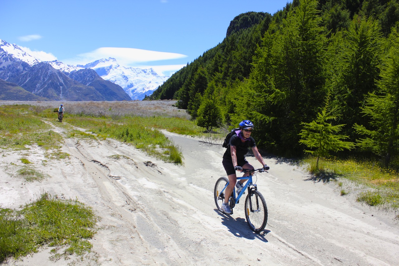
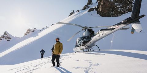
From here, an off-road Trail (8km) takes you to Mt. Cook Airport, where riders will need to make a short helicopter flight across the Tasman River to Rotten Tommy (at own cost).
A helicopter flight across a glacially-fed braided river with New Zealand’s highest mountain in view is a must-do. The helicopter can carry up to 6 passengers at a time (depending on weight limits).
On occasions after heavy periods of rain in the mountains the Tasman River is subject to flooding the Trail - please check in with your booking Agent / Tour Operator or the helicopter company directly, for an update on the expected flight and river status, as flights and landing points are subject to weather and river conditions. An alternative helicopter landing point is possible at the Jollie Carpark if the Tasman River is in flood at an additional charge.
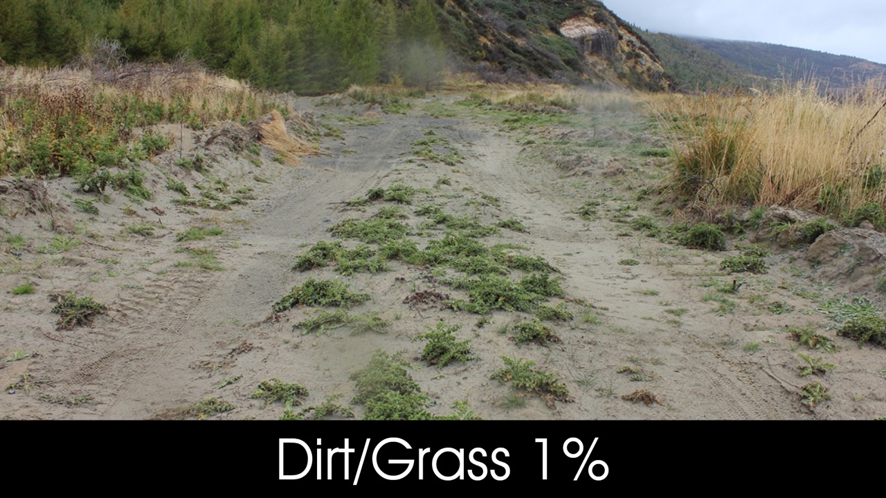
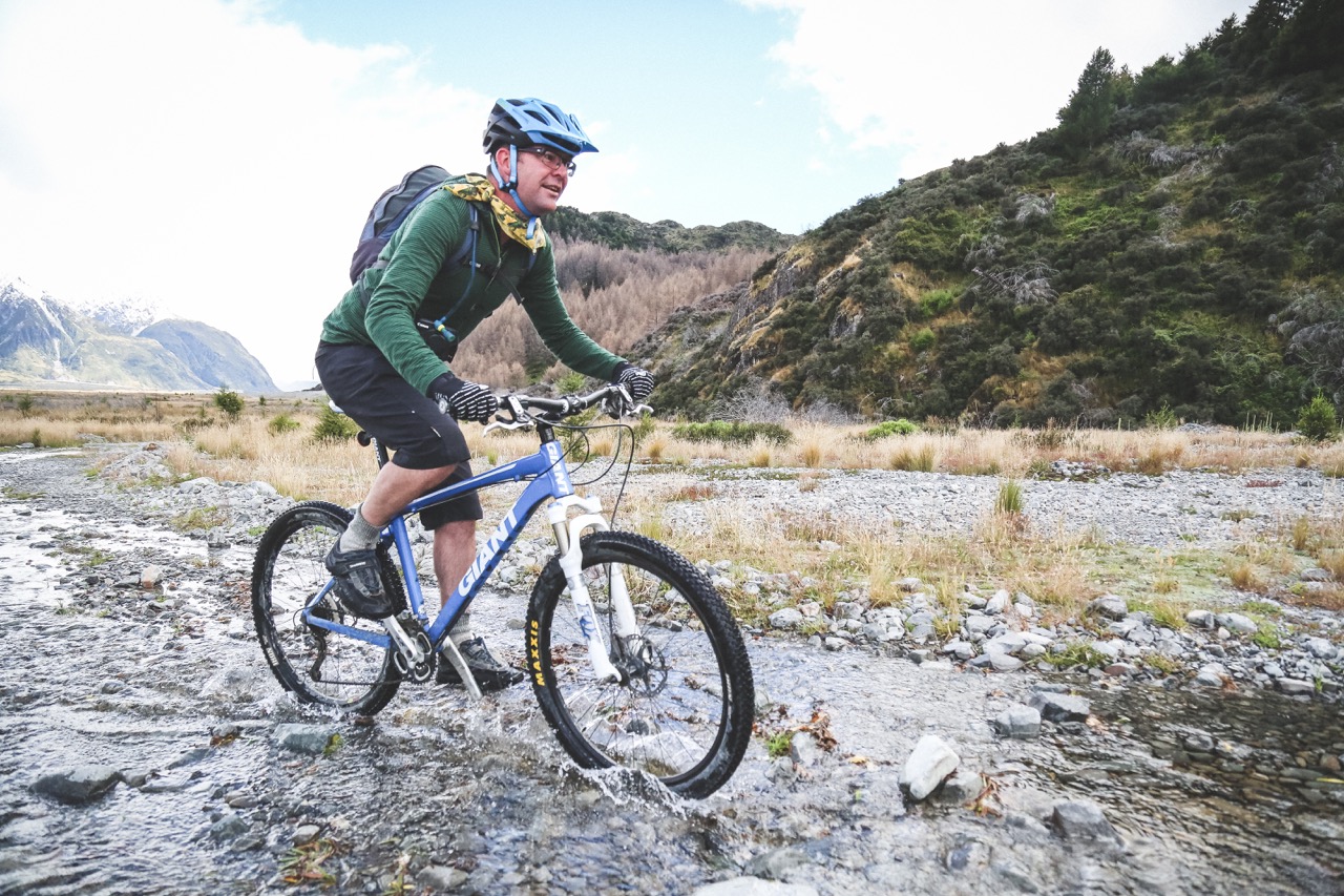
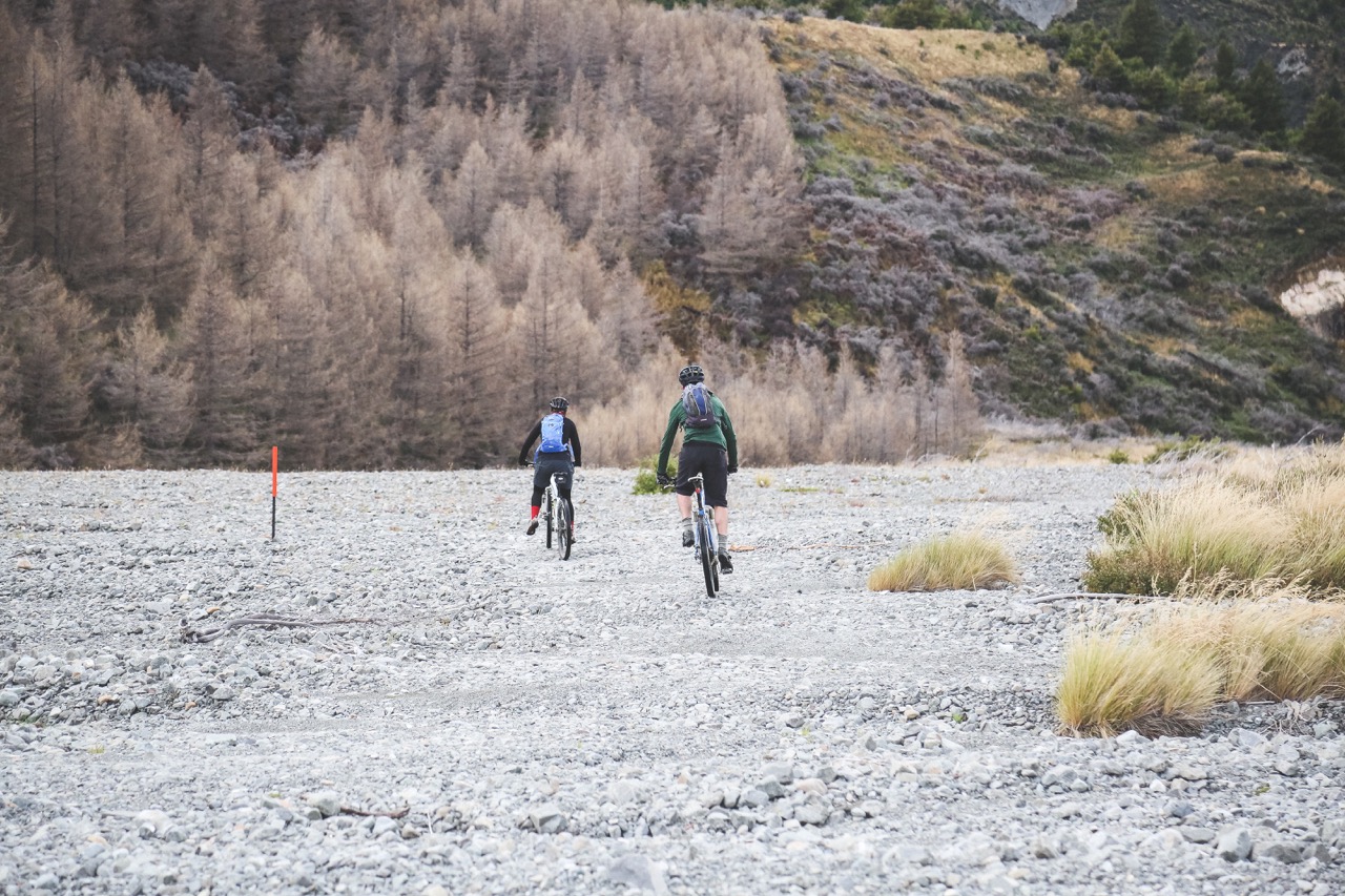
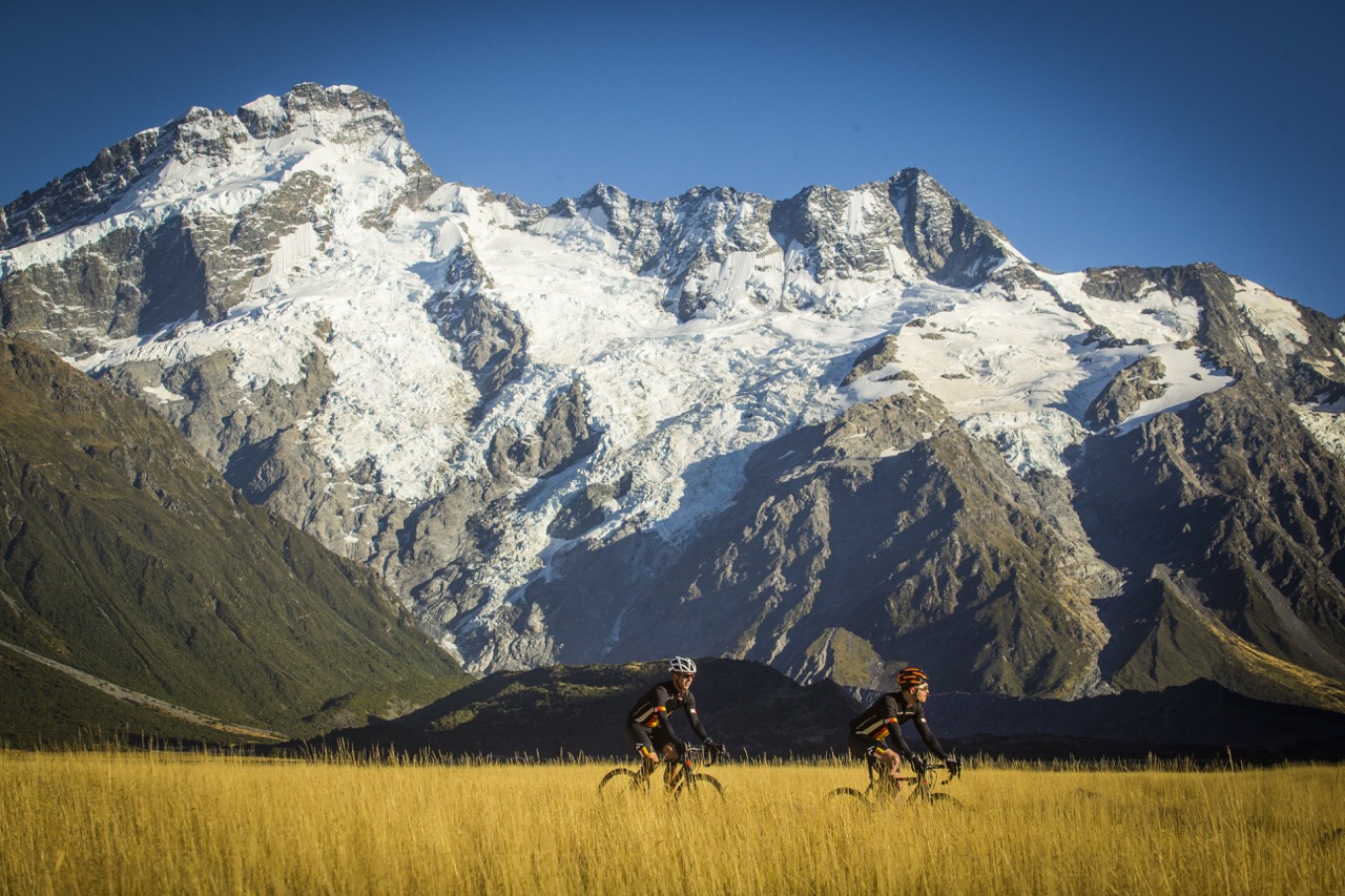
From Rotten Tommy, it’s 8.6km to the Jollie Car Park at the top of Hayman Rd. This track is rough in places and includes several creek crossings.
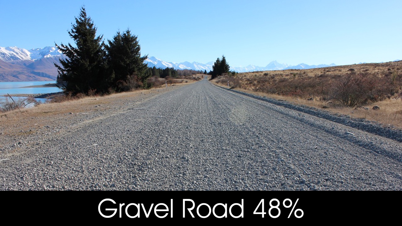
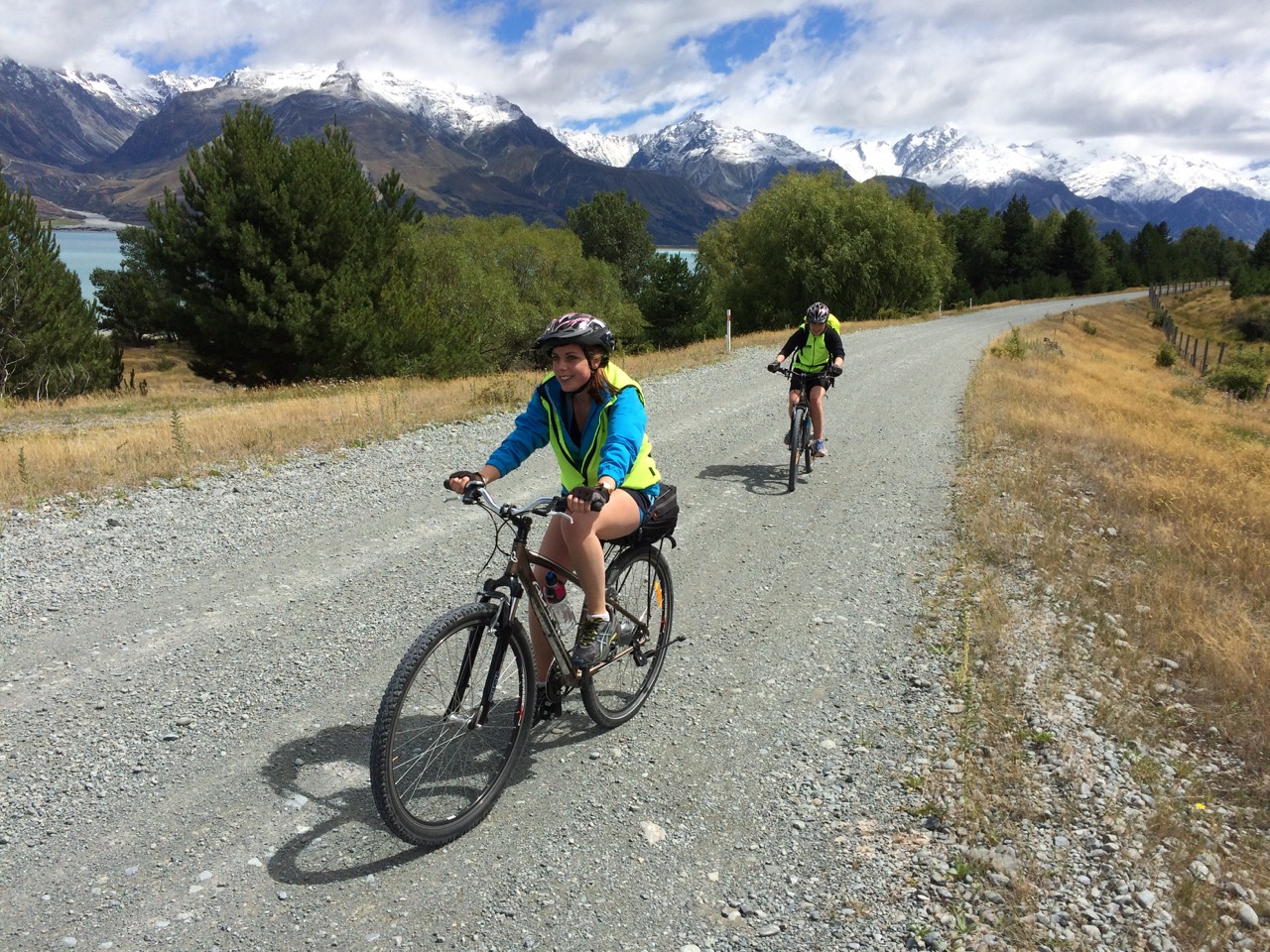
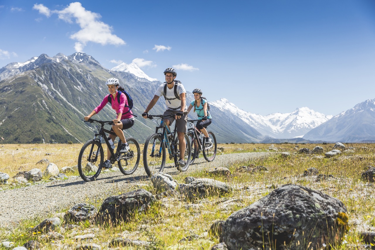
From the car park, it’s 16.8km on gravel road to Braemar Rd (33km). On a clear day, this section of Trail offers great views of Aoraki/Mt Cook, which at 3,754 metres towers above a range of snow capped peaks in the Aoraki/Mt Cook National Park.
Alternative routes:
Lake Tekapo
Follow the Tekapo Canal Road to Lake Pūkaki.
Tekapo B Power Station
Located near the bottom of Lake Pūkaki, close to the start of the off-road section of trail.
Jollie carpark
Ride up to Rotten Tommy and back.
|
|
- Extreme care around helicopters at Mt Cook Airport and Rotten Tommy landing. Approach or depart in a crouching position, avoiding running. Keep yourself in the pilot's view at all times. Avoid reaching up, lifting your arms, or chasing loose objects. Never go near the tail of the helicopter.
- Watch for landing aircraft and move away from the landing area as quickly as possible.
- Dismount if you are unsure of your riding ability. Creeks in this area can be flooded during or after heavy rainfall and snowmelt events and may be impassable.
- Check with the DOC Visitor Centre at Aoraki for current conditions.
- Braemar - Mount Cook Station Rd - this gravel road can be corrugated and is often used by logging trucks which make it challenging to ride safely. Please keep left, ride single file and wear high vis clothing.
- Look out for wandering livestock:
- When encountering livestock cycle slowly and keep your distance.
- Do not cycle in between livestock.
- Livestock can be unpredictable - be aware of your surroundings at all times.
- There are bee hives close to the Trail. Carry medication if allergic.
Alps 2 Ocean Cycle Trail® is a registered trade mark. ©Tourism Waitaki Ltd. 2020. Reproduction of this section map and description in either print or digital format, is not permitted for any commercial, use without prior written permission.